Carlile Media - Books for Your Future

Founded in 2017, Carlile Media is one of America's leading independent publishers of high-quality print editions, e-books, and audiobooks.
We specialize in “how-to” titles that help our readers grow their skillsets, achieve their goals, and expand their horizons.

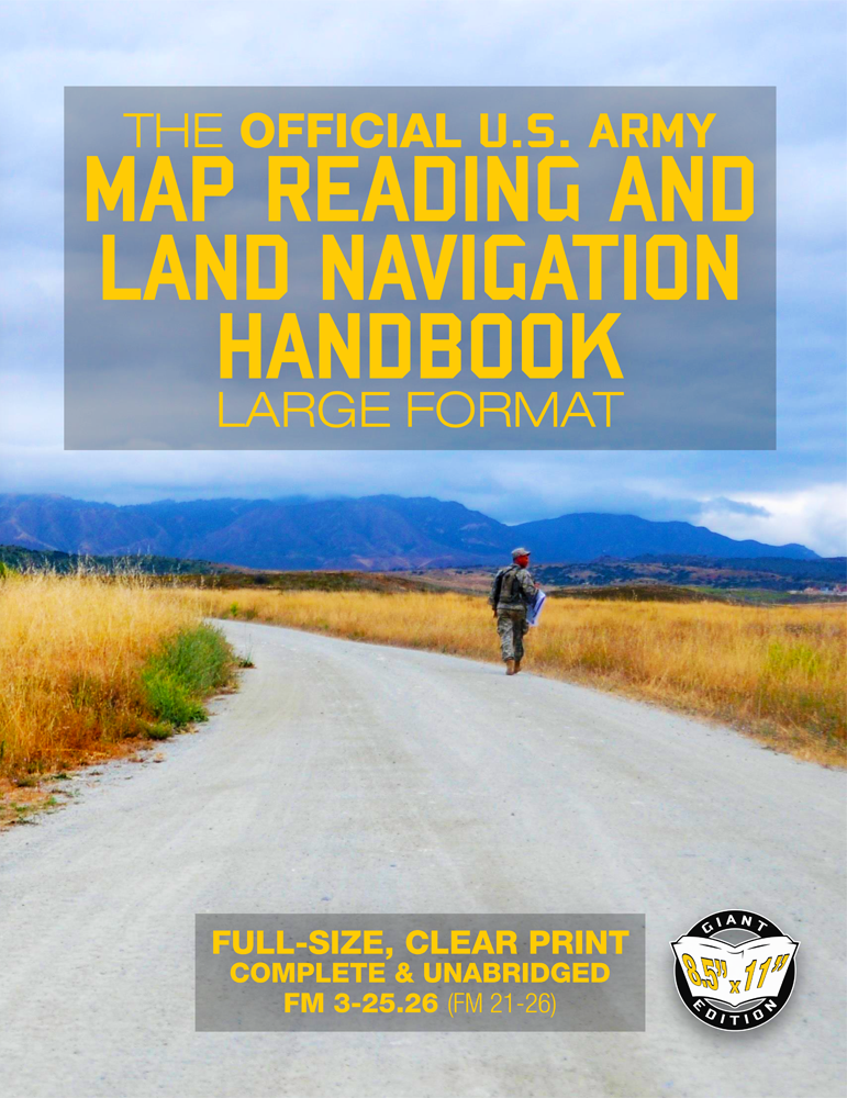
The Official US Army Map Reading and Land Navigation Handbook - Large Format

Indispensable preparedness for every bookshelf, bug-out bag, cabin, RV, and automobile.
Big desktop format.

Giant 8.5" x 11" Size

Full-size format means no more squinting at small images and text. Great for your professional library, training center, or vehicle!

The definitive edition.

Complete and Unabridged

275+ pages of map-and-compass navigation content: everything you need at your fingertips, no omissions.

The voice of experience.

Created and Trusted by US Military Forces

Benefit from decades of hard-won experience operating and orienteering in the most challenging environments around the world - learn from the best!

The Official US Army Map Reading and Land Navigation Handbook - Large Format
Find Your Way in the Wilderness - Never be Lost Again! Giant 8.5" x 11" Size (Field Manual 3-25.26, FM 21-26)
US Army
Paperback Book
Carlile Military Library
Available Now

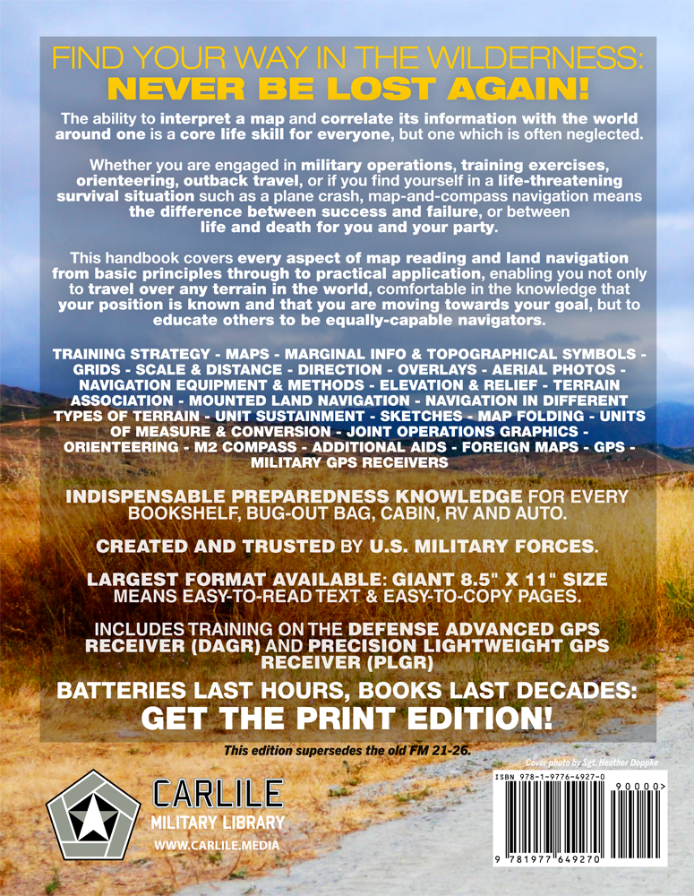
Find Your Way in the Wilderness - Never be Lost Again!

  • Indispensable preparedness knowledge for every bookshelf, bug-out bag, cabin, RV and auto.
  • Largest format available anywhere! Giant 8.5" x 11" size means easy-to-read text & easy-to-copy pages
  • Created & trusted by U.S. military forces.
  • Includes training on the Defense Advanced GPS Receiver (DAGR) and Precision Lightweight GPS Receiver (PLGR).
  • This edition supersedes the old FM 21-76.
  • "Batteries last hours, books last decades. Get the print edition!"

The ability to interpret a map and correlate its information with the world around one is a core life skill for everyone, but one which is often neglected.

Whether you are engaged in military operations, training exercises, orienteering, outback travel, or if you find yourself in a life-threatening survival situation such as a plane crash, map-and-compass navigation means the difference between success and failure, or between life and death for you and your party.

This handbook covers every aspect of map reading and land navigation from basic principles through to practical application, enabling you not only to travel over any terrain in the world, comfortable in the knowledge that your position is known and that you are moving towards your goal, but to educate others to be equally-capable navigators.

  1. TRAINING STRATEGY
  2. MAPS
  3. MARGINAL INFO & TOPOGRAPHICAL SYMBOLS
  4. GRIDS/li>
  5. SCALE & DISTANCE
  6. DIRECTION
  7. OVERLAYS
  8. AERIAL PHOTOS
  9. NAVIGATION EQUIPMENT & METHODS
  10. ELEVATION & RELIEF
  11. TERRAIN ASSOCIATION
  12. MOUNTED LAND NAVIGATION
  13. NAVIGATION IN DIFFERENT TYPES OF TERRAIN
  14. UNIT SUSTAINMENT
  15. SKETCHES
  16. MAP FOLDING
  17. UNITS OF MEASURE & CONVERSION
  18. JOINT OPERATIONS GRAPHICS
  19. ORIENTEERING
  20. M2 COMPASS
  21. ADDITIONAL AIDS
  22. FOREIGN MAPS
  23. GPS
  24. MILITARY GPS RECEIVERS

Search for 'CARLILE MILITARY LIBRARY' to find more TOP-FLIGHT, SQUARED-AWAY publications for your professional bookshelf!

Information purposes only.

Proudly published in the U.S.A. by CARLILE MEDIA.

ISBN/SKU: 1977649270
SERE, Orienteering, Map-reading, Survival, Outdoors
Ready to buy?

Join thousands of readers

Be the first to discover new Carlile Media releases!

    What are you interested in?
    We won't send you spam. Unsubscribe at any time.

    Before You Buy

    Q: Who is this book for?

    A: This handbook is an excellent choice for hikers, hunters, campers, preppers, military personnel, search-and-rescue volunteers, orienteers, outdoor instructors, and anyone who wants to become more confident navigating without depending entirely on a phone or GPS. It is particularly useful for readers who want both basic map-and-compass skills and a deeper understanding of professional land-navigation methods.

    Q: What does the handbook cover?

    A: It covers maps, topographical symbols, grids, scale and distance, direction, overlays, aerial photographs, elevation and relief, terrain association, navigation equipment and methods, mounted navigation, navigation in different types of terrain, sketches, map folding, units of measure, orienteering, foreign maps, GPS, and military GPS receivers.

    Q: Is this mainly a military navigation manual?

    A: It was written for military use, but the underlying skills are broadly applicable. Understanding maps, terrain, distance, direction, elevation, and position is just as useful for hiking, hunting, backcountry travel, emergency preparedness, and orienteering as it is for military operations.

    Q: Is it suitable for someone who has never learned map and compass navigation?

    A: Yes. The handbook starts with the fundamentals of maps, grids, scale, distance, and direction before moving into more advanced subjects such as terrain association, navigation in difficult environments, aerial photographs, overlays, and GPS. That makes it suitable both for beginners and for experienced navigators who want a detailed reference.

    Q: Does the book still matter if I normally use GPS?

    A: Yes. GPS is extremely useful, and the handbook includes coverage of both GPS principles and military receivers, but electronic navigation is only one part of the subject. Map reading, terrain association, compass work, distance estimation, and understanding your surroundings remain valuable when batteries fail, equipment is damaged, reception is poor, or you simply want an independent way to verify your position.

    Q: What makes this different from a typical hiking navigation guide?

    A: The scope is much broader and more systematic. Rather than teaching only the minimum map-and-compass skills needed for recreational hiking, the manual treats land navigation as a complete discipline, including training strategy, terrain analysis, navigation in varied environments, mounted navigation, aerial imagery, overlays, orienteering, GPS, and methods for teaching and maintaining navigation skills.

    Q: Can this book help me teach land navigation to others?

    A: Yes. The manual is not limited to individual navigation skills; it also addresses training strategy and skill sustainment. That makes it useful to instructors, group leaders, military personnel, outdoor educators, and others who need to develop navigation ability in a team rather than simply learn it themselves.

    Q: Is this the older FM 21-26 map-reading manual?

    A: This edition presents FM 3-25.26, the later Army map-reading and land-navigation manual associated with and replacing the older FM 21-26 tradition. It retains the detailed military approach to navigation while adding material appropriate to more modern equipment and methods.

    Q: Why choose the large-format edition?

    A: Maps, grids, diagrams, symbols, and navigation illustrations benefit significantly from page space. This edition uses a full 8.5 × 11-inch format and runs to approximately 288 pages, making detailed material easier to read and reference than it would be in a compact reproduction.

    Publication Details & Specifications

    Format Paperback
    Series Carlile Military Library
    Official designations FM 3-25.26 / FM 21-26
    Edition Large-format edition
    Print length 290 pages
    Dimensions 8.5 × 0.61 × 11 inches
    Item weight 1.49 pounds
    Language English
    Publication date September 27, 2017
    ISBN-10 1977649270
    ISBN-13 978-1977649270
    Format advantage Large 8.5 × 11 inch format for easy-to-read text and easy-to-copy pages
    Navigation coverage Maps, topographical symbols, grids, scale and distance, direction, overlays, aerial photographs, elevation and relief, terrain association, mounted navigation, sketches, map folding, and navigation in varied terrain
    Navigation equipment Compass, GPS, Defense Advanced GPS Receiver (DAGR), Precision Lightweight GPS Receiver (PLGR), and other military navigation aids
    Additional coverage Orienteering, joint operations graphics, foreign maps, units of measure and conversion, training strategy, and unit sustainment
    Designed for Military personnel, orienteers, hikers, travelers, preppers, survivalists, instructors, and anyone needing practical map-reading and land-navigation skills
    Affiliate notice: as an Amazon Associate, we earn from qualifying purchases.